Project Background
Design standards for a proposed overlay district along the Indiana State Road 13 corridor were communicated through perspective, plan view, and section drawings using Trimble SketchUp and Adobe InDesign. Using our findings, we completed a street typologies portfolio which addressed the growing number of residential and commercial development spreading to the northeast suburbs of Indianapolis. The following proposal seeks to mitigate excessive commercial traffic entering and exiting truck service stations near I-69 and invite economic development and alternative mobility along the Indiana 13 corridor.
Design standards for a proposed overlay district along the Indiana State Road 13 corridor were communicated through perspective, plan view, and section drawings using Trimble SketchUp and Adobe InDesign. Using our findings, we completed a street typologies portfolio which addressed the growing number of residential and commercial development spreading to the northeast suburbs of Indianapolis. The following proposal seeks to mitigate excessive commercial traffic entering and exiting truck service stations near I-69 and invite economic development and alternative mobility along the Indiana 13 corridor.
IMPROVED CURB CUT STANDARDS
The existing right of way is widened to accommodate mixed use bike and pedestrian paths parallel to a tree-canopied and well-lit parkway. North and south traffic is separated by a system of landscaped medians and dedicated turn lanes that act as traffic calming measures during peak commute hours.
The existing right of way is widened to accommodate mixed use bike and pedestrian paths parallel to a tree-canopied and well-lit parkway. North and south traffic is separated by a system of landscaped medians and dedicated turn lanes that act as traffic calming measures during peak commute hours.

Isometric View
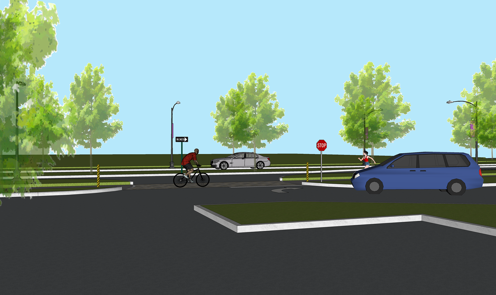
Perspective View
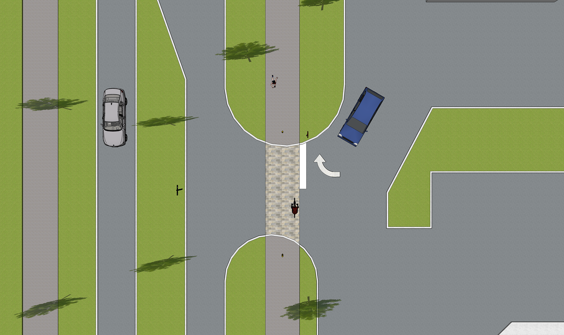
Top View

Section Cut
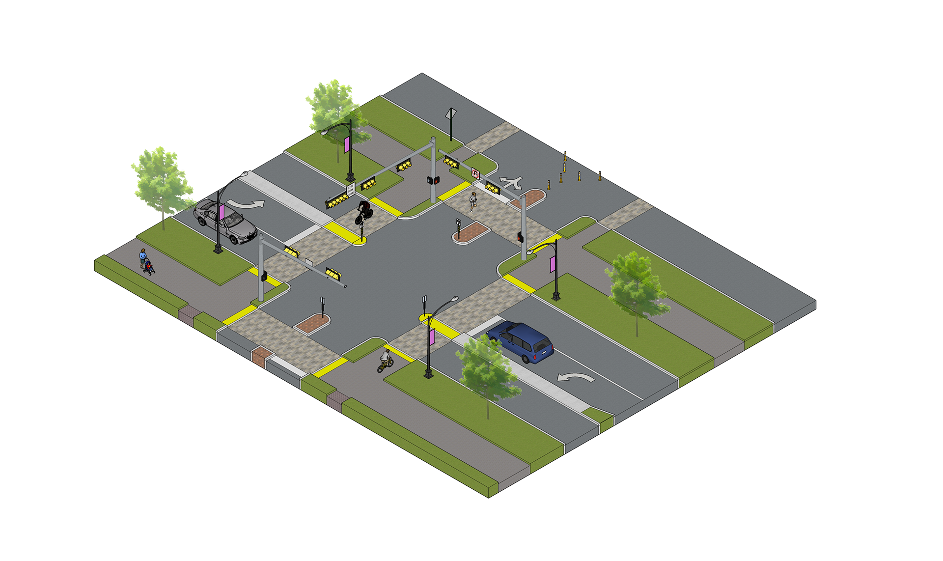
Isometric View
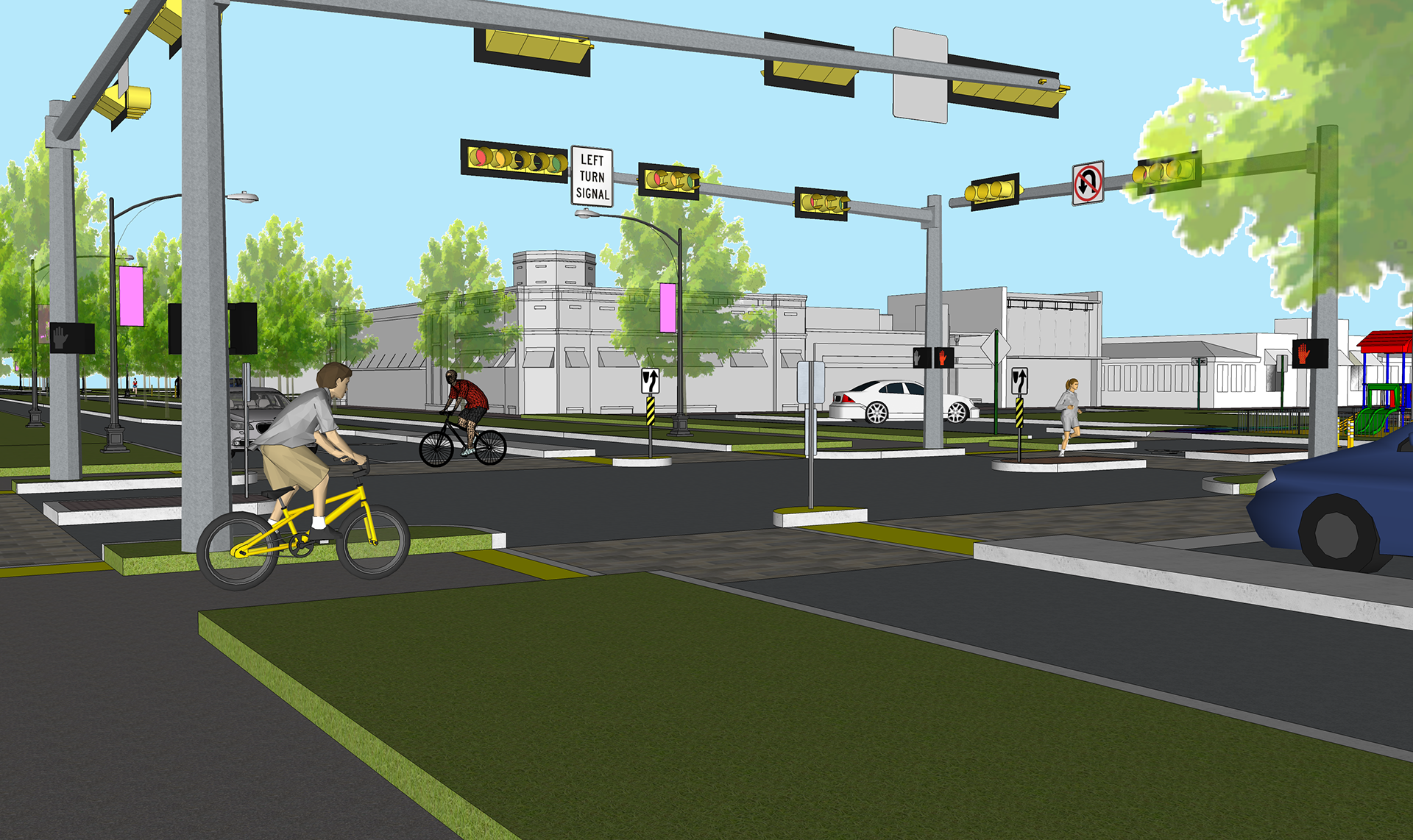
Perspective View
Top View

Section Cut
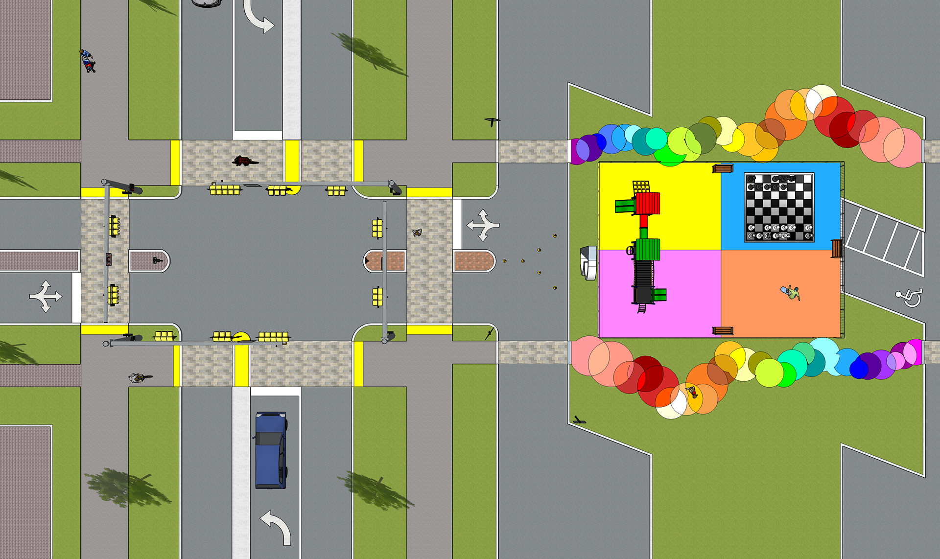
SIGNALED INTERSECTION IMPROVEMENT
A demand-response Traffic Signal system keeps pedestrians, cyclists, and vehicles flowing in synchronization with nearby traffic density from the I-69 corridor. A new town center is suggested at the corridor’s midpoint, sitting directly across from mixed income residential development. Double-wide crosswalks meet the safety and demand for the parkway's multi-use pathway.
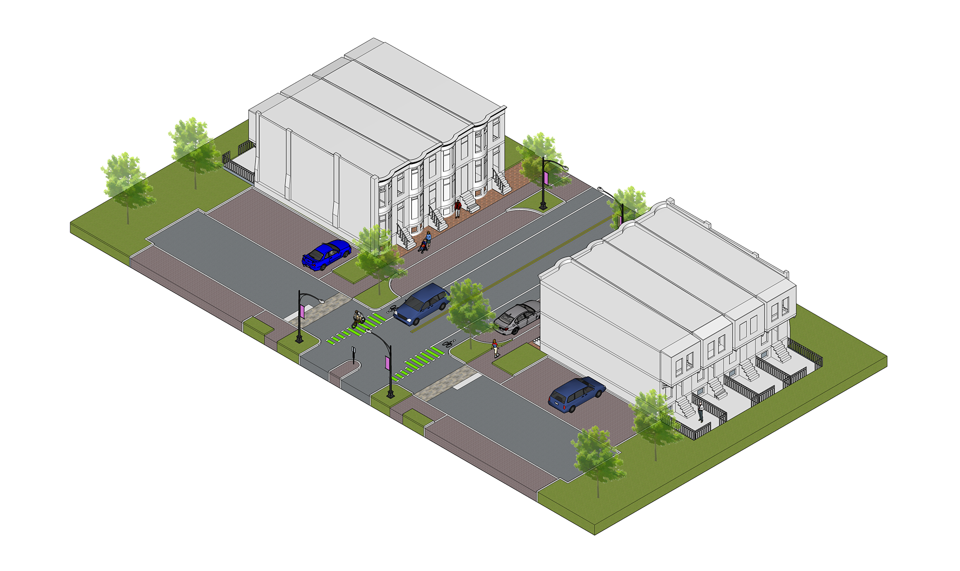
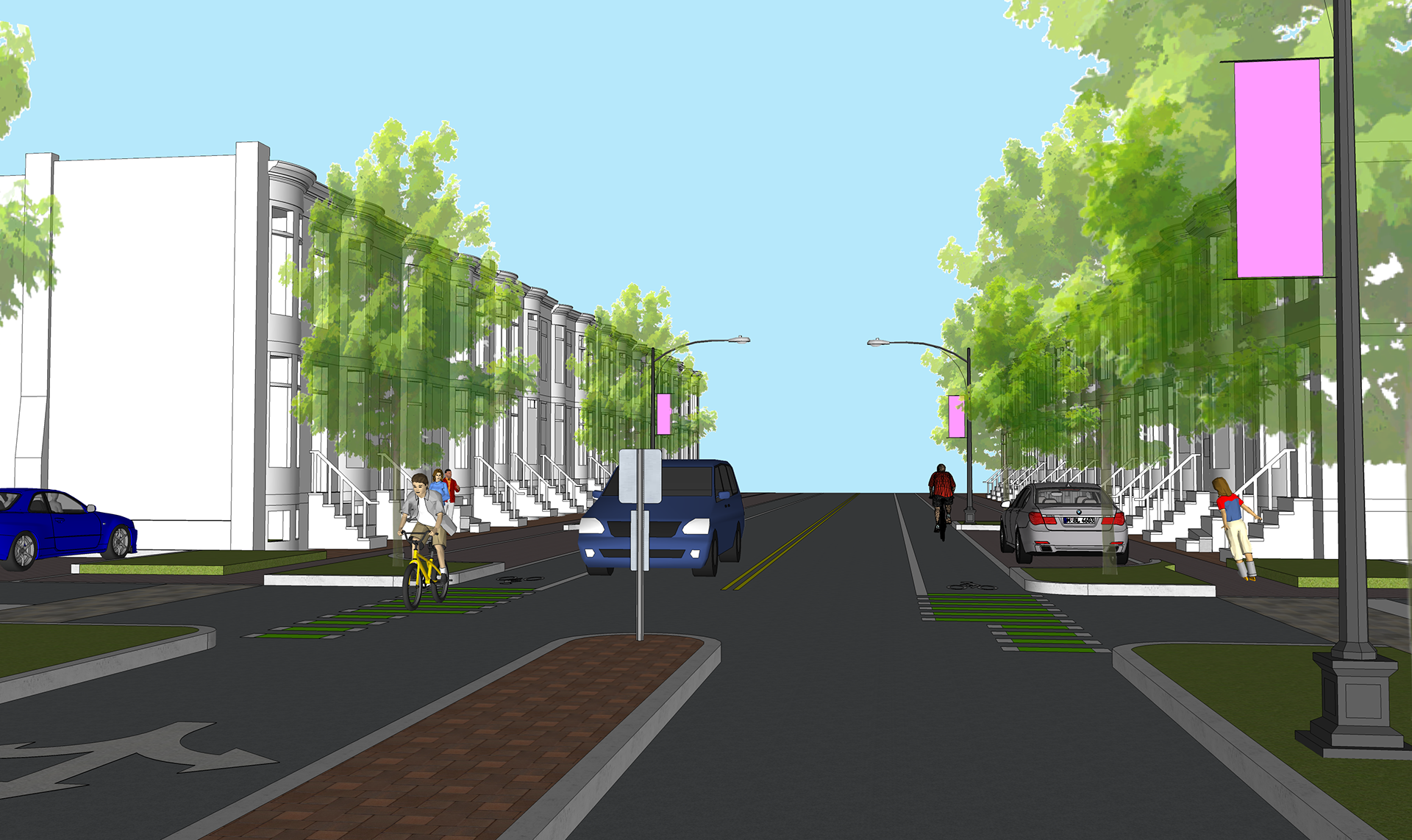
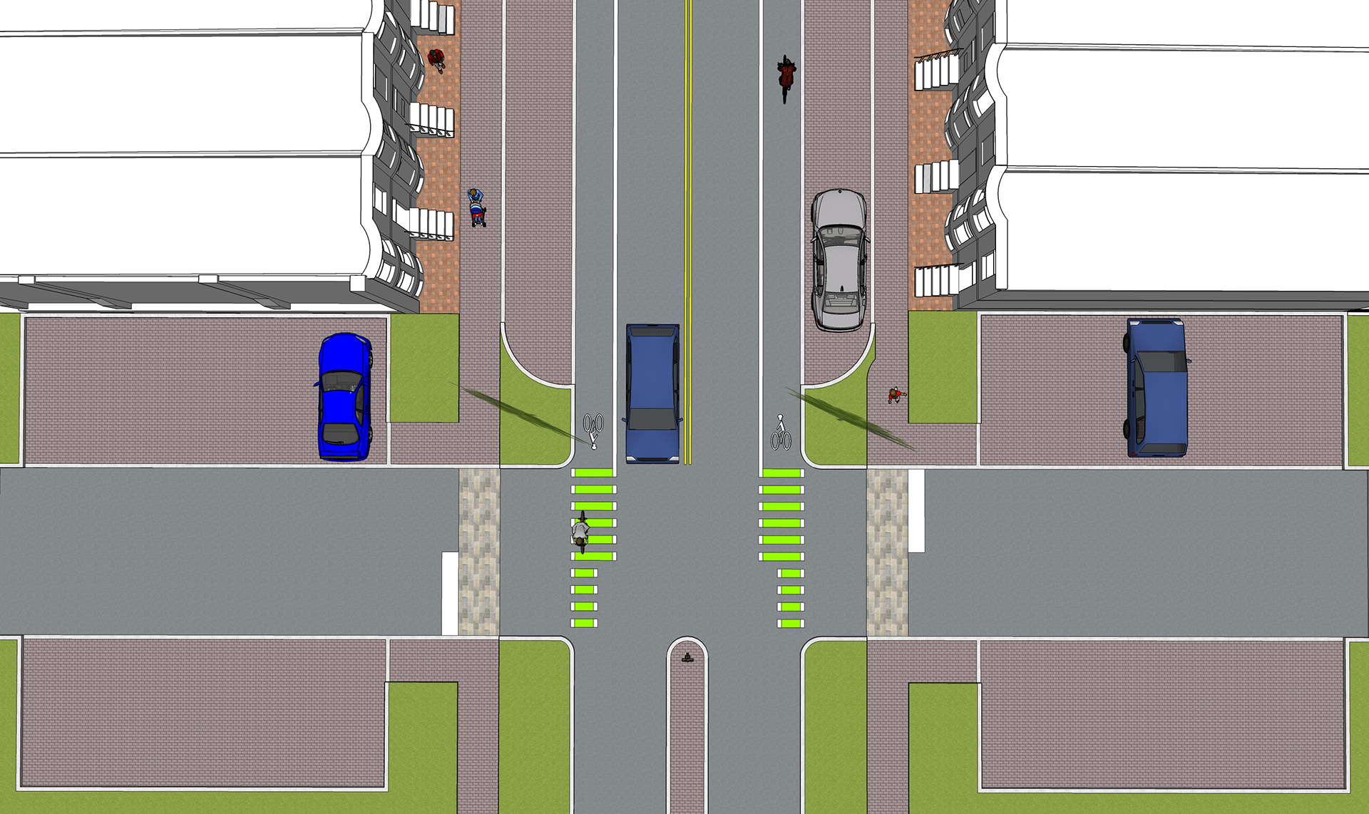
CYCLIST LANE & ON-STREET PARKING
A separated bike lane is designated on both sides of the street, protected with adequate lighting and street markings. Adjacent to each lane is on-street parking and brick-paver sidewalk space. City parking is designated near each residential unit and set-back from the residential corridor with a landscaped buffer.
Isometric View
Perspective View
Top View

